
Looking Up Your Louisiana Neighbors
Public records around a Louisiana address describe parcels and events, not every person who lives on a block. A map helps find adjacent lots; the parish assessor can connect a selected parcel to its owner and tax mailing address; the Parish Clerk can show recorded transfers or servitudes. Voter information is limited by privacy rules, while association maps show community boundaries and contacts. The right starting point depends on whether the question is about land, a civic group, or a dated household record.
| Source | What It Shows About a Block | Access |
|---|---|---|
| GIS parcel map | Nearby parcel shapes, IDs, and available land-use or district context | Parish or city viewer; map tools vary |
| Assessor roll | Owner, mailing and situs address, tax values, and exemptions for a parcel | Parish portal, office, or request |
| Clerk conveyance index | Recorded transfers, legal descriptions, mortgages, liens, or servitudes | Parish Clerk portal, counter, or copy request |
| Voter Portal | Address-linked election information that is public under privacy rules | Secretary of State portal or registrar |
| Neighborhood organization map | Group boundaries and public contact details, not a resident roster | Local government map or registry |
| Plat or historic map | Older lot lines, streets, buildings, and block development | Library, archive, clerk, or digital map |
Owner and occupant are different roles. A tax card can show a company, trust, estate, or out-of-parish mailing address, while a voter search may return no public address link. A civic group's map cannot confirm that a particular household joined it. Read a row as evidence about the record named in that row, then use a second source to confirm an address or date.
Note: The block view is assembled from parish and city systems, so the same address may lead to more than one records custodian.
Louisiana Neighbor Lookup Parcel Cards
A parcel card is about land and assessment, not a head count. Parish assessor sites commonly let a user start with an owner name, street or situs address, or parcel number, but the exact fields and result details vary among the 64 offices. A card may include a legal description, mailing address, value, tax year, sale information, or homestead exemption. Treat those as possible fields until the selected parish's current form confirms them.
Keep the physical situs separate from the tax mailing destination. A different mailing address might belong to an owner who receives mail elsewhere, a fiduciary, or an entity; it does not establish who occupies the nearby property. Homestead information is a tax exemption, not a list of household members. The Louisiana Assessors' Association directory can route a search to the correct parish office when the parcel map or address lookup is unclear.
For a card that is not online, call the assessor to confirm the parcel number or address, visit the office for the public terminal or card, or make a focused public-record request. A request should name the parish, parcel or legal description, record, date range, and preferred copy format. Fees, older roll availability, and whether a clerk or assessor holds the requested map depend on the parish.
Louisiana Voter Search for Neighbors
The Secretary of State's Search by Address asks for a ZIP and street address, with optional apartment or lot and city fields. It can return election information associated with an address, subject to privacy rules. The portal deliberately does not publicly link every voter to an address. It excludes Social Security number, email, full birth date, mother's maiden name, assistance entitlement, and fully protected records.
Purchased voter-list products are a separate channel, not a reason to turn public data into a neighborhood roster. Louisiana's election rules restrict commercial circulation of certain registration details, and email remains protected. The Secretary of State's voter-list FAQ and a local Registrar of Voters can explain current formats, costs, and permitted use. Records for 16- and 17-year-old registrants are confidential. An inactive record after list maintenance is not proof that someone permanently left the block.
Note: A voter search can answer a limited election question, but a blank or partial result cannot establish who lives at an address.
Map Your Louisiana Neighbors by Parcel
Use the map to move outward one parcel at a time. A parcel polygon is the outline of a mapped tax lot; selecting it may expose a parcel ID or a link to the assessor. Not every Louisiana viewer has a radius or buffer tool. If one is absent, pan along the street and click the adjacent polygons instead of assuming the map has counted a fixed block.
- Search the address in the parish or municipal GIS viewer. If it does not resolve, find the street on the map or ask the assessor for the official situs address.
- Click the target lot and write down the parcel ID and legal description. Use the ID to open the matching assessor record.
- Pan to adjoining lots and select each polygon. Copy each parcel ID before switching to the assessor site; do not treat an adjacent lot as a household.
- Compare situs and mailing addresses, then note the limits of any exemption or tax detail. Use the clerk's deed index only when ownership history or a recorded instrument matters.
- For a full named-street record trail, continue with the Louisiana street directory, which follows address records along an entire street.
New Orleans' official Property Viewer offers parcel selection and nearby map navigation alongside zoning and future land-use layers. Those planning layers describe geography, not the identity of people in nearby homes. Elsewhere, contact the parish assessor, city GIS staff, or planning office if the public viewer gives only a road outline or cannot identify a parcel.
Louisiana Neighbors and Association Maps
Two Louisiana local-government examples make community boundaries easier to check. East Baton Rouge Parish maintains a registry with more than 400 neighborhood, civic, watch, crime-prevention, and merchant groups. New Orleans' Mayor's Neighborhood Engagement Office recognizes associations and publishes group boundaries and contacts. Neither system is a statewide directory, and neither map is a list of every home or member in the area.
| Local layer | What the public can find | Contact or fallback |
|---|---|---|
| East Baton Rouge Neighborhood Registry | Group category, map outline, and organization details for 400+ registered groups | Registry map; Office of Neighborhoods, 225-389-8680, neighbors@brgov.com |
| New Orleans recognized associations | Name, boundaries, president or contact, and recognition information; resubmit every two years | Neighborhood Engagement Office; 504-658-4980, neighborhoods@nola.gov |
| Other Louisiana parishes | No single statewide neighborhood-organization directory was located | Ask the parish or municipal planning/community office, library, or historical society |
The New Orleans GIS service is labeled as a self-reported neighborhood-organization layer. Its fields include organization name, boundaries, point of contact, and email. The layer supports map identification and queries; its contact data should be read as information supplied by an organization.
The New Orleans neighborhood association map service shows the self-reported organization layer and its public map controls.
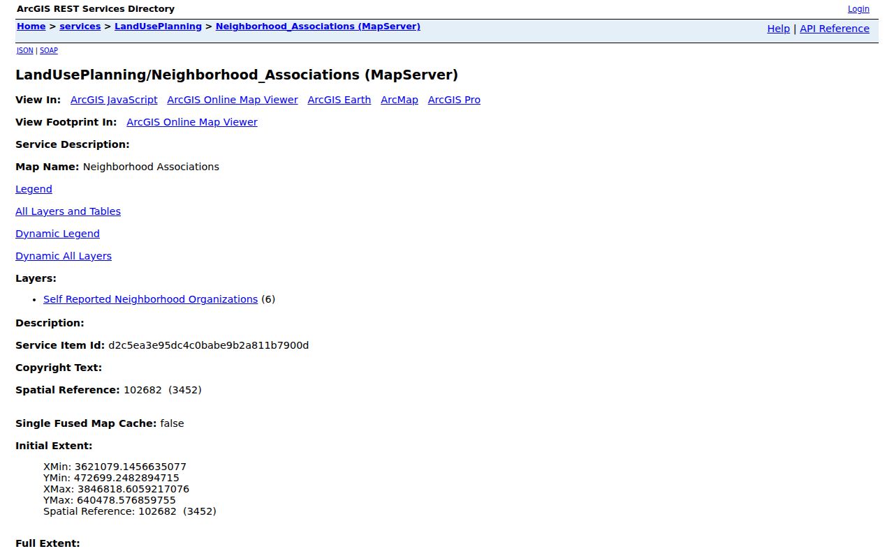
Use a boundary to identify a relevant group or contact, then ask the organization about public meeting information rather than inferring membership from an address.
The East Baton Rouge official registry lets the public view registered organization boundaries and details on a map.
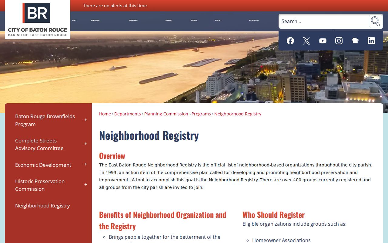
Registered groups are invited to join the system, so the map is a useful contact route rather than a complete count of all community groups.
In East Baton Rouge, click the map outline to reach a group's details; in New Orleans, the listed boundaries and contacts are self-reported.
Official Louisiana Neighbor Lookup Records
Official parcel, voter, and neighborhood records have named custodians and defined fields. Their advantage is that a reader can check the source office and ask how its data was made. Their limit is equally concrete: each source describes a parcel, election record, or registered organization, and does not establish a complete household or association roster.
| Source category | Useful for | Limit to keep in mind |
|---|---|---|
| Government parcel or clerk record | Owner, parcel boundary, tax or recorded instrument | May omit occupants and nonrecorded relationships |
| Neighborhood registry or association map | Organization boundary, category, and public contact | Does not list all residents or prove membership |
| Commercial neighbor profile service | A broad compiled profile assembled from public and marketing sources | May merge people or retain old details; not an authoritative block record |
An official neighborhood map is not a membership roll. The New Orleans service identifies self-reported organizations, and the East Baton Rouge map lists registered groups; neither says who lives in every house inside a boundary.
For a block question, confirm the map outline with the organization and confirm a property fact with the assessor or clerk. A commercial profile may combine records from different dates or sources, so an apparent match should not replace a check with the named public custodian.
Louisiana Neighbor Deeds and Servitudes
A parcel map shows where recorded lots meet; the Clerk of Court's conveyance index can add the legal description and recorded acts. Search a parcel's deed when the question concerns who acquired it, or look for a recorded servitude when an instrument may describe a shared access or use. A servitude is a recorded right affecting land. It does not, by itself, say how neighbors behave or who uses a path today.
Parish clerks hold conveyances, mortgages, liens, plats, releases, and other instruments, but online dates and image access vary. Use eClerks LA or a participating parish portal as a starting point, then ask the clerk about its public terminal, book and page references, archived books, and copy costs. If no online image exists, a written request can identify the parish, parcel or legal description, instrument type, date range, and desired copy. A street-by-street chain belongs in the separate street lookup.
Note: The clerk is the source for a recorded instrument, while the assessor or GIS office is the source for a current parcel match.
Historic Louisiana Block Maps
Older maps help explain how a block took shape. Sanborn fire-insurance sheets can show building footprints, lot divisions, street names, and numbered map sheets for the edition date. The Library of Congress has digitized examples for New Orleans, including an 1885 sheet; its catalog and guide help users move through a map set. Availability is edition-specific, so a blank digital search does not mean no local map survives.
Parish libraries, historical societies, assessors, clerks, and archives may have plats, subdivision plans, aerial maps, or local map books. Ask whether the collection is online, held at a reading room, available on microfilm, or subject to an appointment. Compare the map with a parcel's legal description and an assessor card before attaching an older lot to a current street number.
Louisiana's land record geography is parish based. After the Territory of Orleans was divided into 12 parishes in 1803, the boundaries changed over time into today's 64-parish structure. An older block's clerk or map custodian may therefore differ from the office that now serves the same place.
The Library of Congress Sanborn guide explains the sheet, key-map, and catalog approach; a digitized 1885 New Orleans map example shows one local edition.
Louisiana Neighbor Lookup Privacy Limits
A neighbor lookup cannot reveal all residents on a block. Assessor data is about an owner and parcel; voter search results are limited by Louisiana privacy rules; association maps identify groups, not member households. People who occupy a property without owning it, family members, guests, and other occupants may never appear in these records. Driver address data is protected under the federal Driver's Privacy Protection Act, while utility-customer and private delivery details are not public government rolls.
The Louisiana Address Confidentiality Program serves eligible people relocating because of abuse, sexual assault, or stalking, and provides a substitute address for state and local services. A protected resident's actual location and telephone are not public. Some public employees and judges also have additional limits on publishing home or contact details. Never try to defeat a safety measure by combining records to infer a hidden address.
Lawful use. Use block records for civic curiosity, property context, family history, and personal research. Louisiana law bars stalking and harassing communications; access to public information is not permission to follow, threaten, or intimidate a neighbor.
Official program guidance is available from the Louisiana Address Confidentiality Program. Respect restricted records and the boundaries set by the custodian or the people who maintain a community organization.